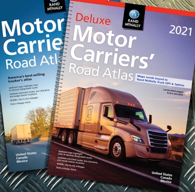
The 40th anniversary edition of the Motor Carriers’ Road Atlas, published by Rand McNally, is now available in travel centers, in bookstores, on e-commerce stores, and online.

The new edition includes thousands of updates to the maps as well as revised regulatory and state/province information. This year, the atlas includes:
- updated U.S. state and Canadian province maps, including the renaming of a section of Interstate 680 to Interstate 880 in western Iowa, adding Loop 202 around Phoenix, and updated interstates in Rhode Island with mileage-based exit numbers
- revised restricted routes, low-clearance, and weigh station locations
- a 22-page mileage directory that includes more than 40,000 truck-route-specific, city-to-city mileages
- an updated fuel tax chart as well as revised state and province information including weight and size limitations, registration guidelines, and phone numbers and websites for state police and operating authorities
- hotlines for road construction and conditions
- updated toll system contact information for each state
- updated review of hazardous materials regulations
“For forty years, The Motor Carriers’ Road Atlas has been an invaluable tool for professional truck drivers,” said Stephen Fletcher, CEO of Rand McNally. “Today Rand McNally is a leader in technology for the commercial transportation market; however, many drivers continue to depend upon the printed atlas for a big-picture reference as well as for a back-up in truck cabs.”


